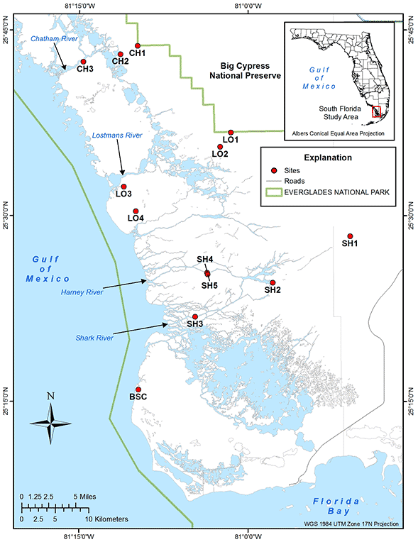
Hydrology Data
Station location maps
(Please see Sites List for complete listing of sites.)- Coastal Gradients
- Florida Bay
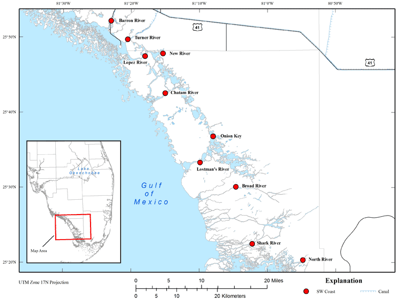
- SW Coast
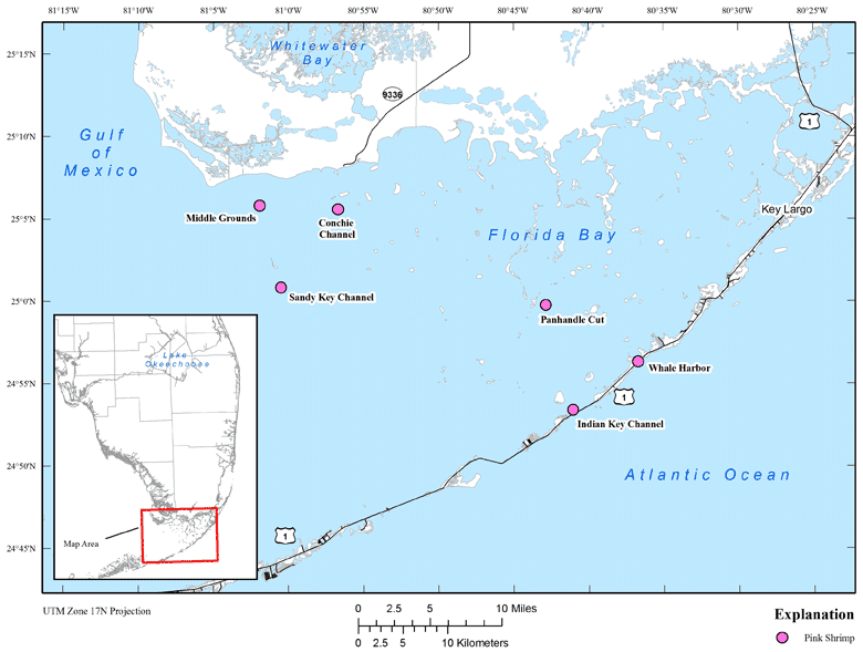
- Pink Shrimp
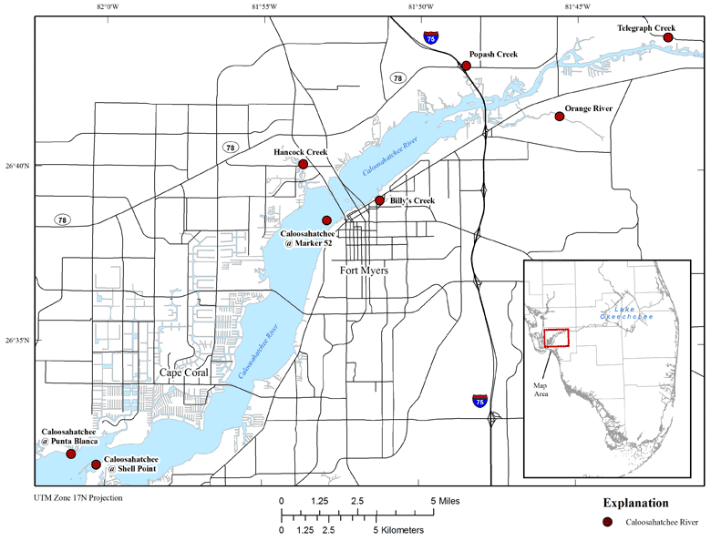
- Caloosahatchee River
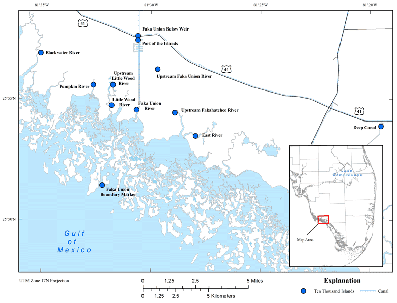
- Ten Thousand Islands
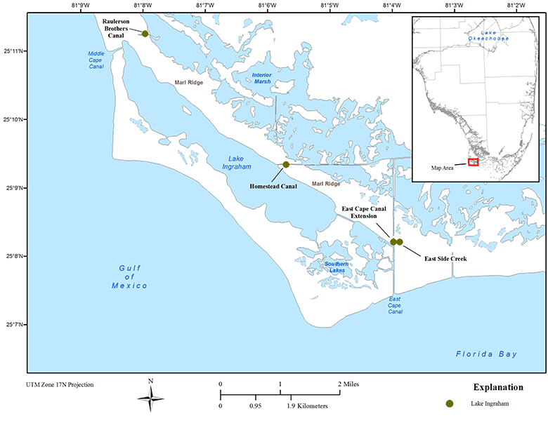
- Lake Ingraham
- Mangrove Lakes
- Everglades Land-Margin Ecosystem
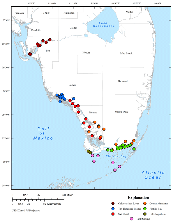
Data for the sites seen below are now being served in a database with data exported as .csv or tab-delimited. Click on a site to go to the "South Florida Hydrology Data database" to download the data for that site.
Coastal Gradients
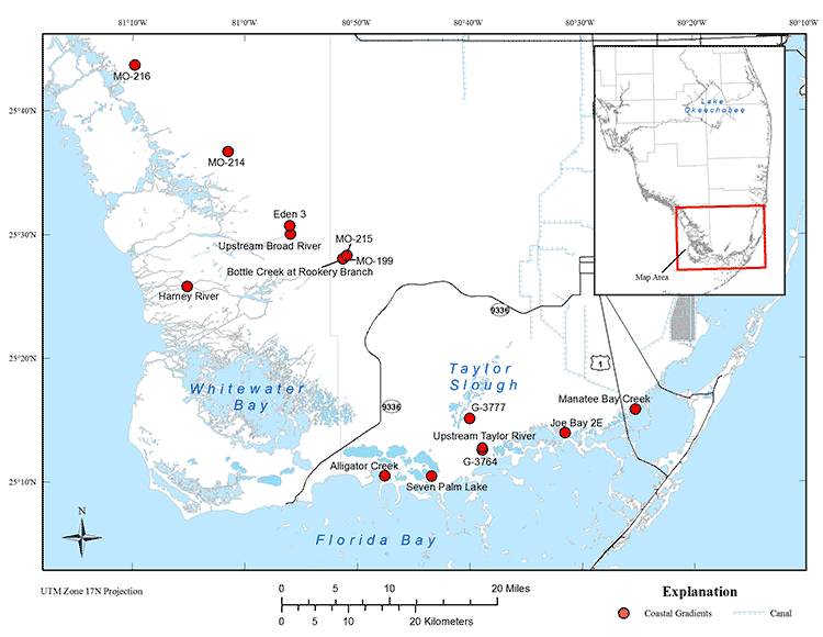
Please note that some gages have been discontinued and therefore are no longer noted on the map. Please see the Sites Listing page for a list of these gages.
Florida Bay
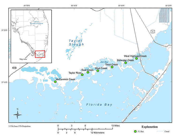
Please note that some gages have been discontinued and therefore are no longer noted on the map. Please see the Sites Listing page for a list of these gages.
SW Coast
Pink Shrimp
Caloosahatchee River
Ten Thousand Islands
Lake Ingraham
Mangrove Lakes
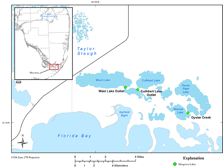
Please note: Mangrove Lakes stations link to NWIS Web. Follow links to download available data for that station.
Everglades Land-Margin Ecosystem